
Loggers & Field Software
Hardware
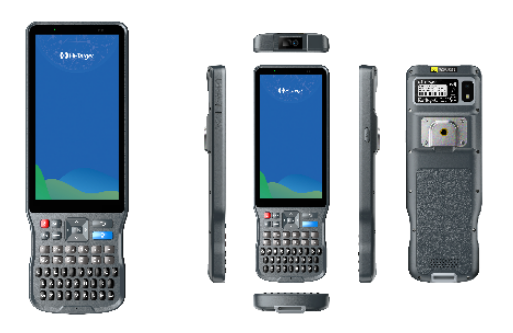
iHand55 Handheld Controller
Rugged Android logger with full qwerty keypad.
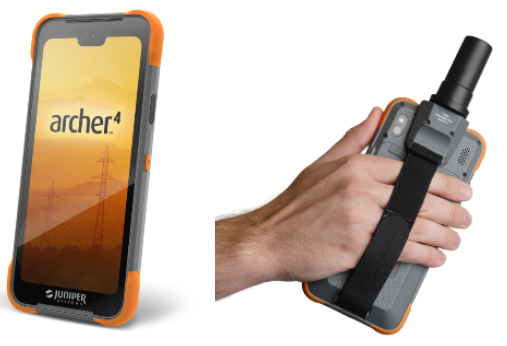
Juniper Archer4.
Featuring an Octa-core Qualcomm CPU. Android 14 GMS operating system. 5G Cellular with 4G LTE fallback. Centimetre level accuracy with optional GNSS Expansion POD. USB-C charging and data transfer. Hot-swappable batteries.
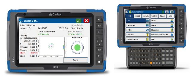
Carlson RT4+
Next Generation Rugged Tablet
The Carlson RT4+ is designed for surveying, stakeout, construction layout, and GIS mapping and is bundled with Carlson SurvPC – the Windows-based data collection program. The RT4+ can also be used in the office with any Carlson office software. Windows 11, 16GB of RAM and 256 GB of storage. All-day battery runs up to 15 hours for minimal downtime. Long-range Smart Ready Bluetooth®, Wi-Fi®, USB connectivity.
Software
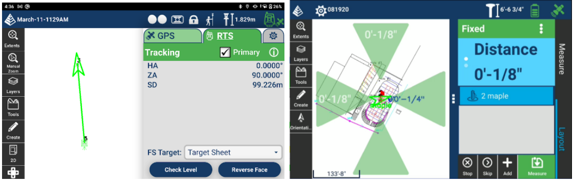
Carlson Layout
The Android-based Carlson Layout provides an efficient, affordable, and easy-to-use site layout solution.
Full support for DXF and DWG files through the all-new mobile IntelliCAD engine. Supports the full Carlson projection library. Compatible with Carlson CRD and CRDB files. Integration with Google Drive and other cloud storage for simple file handling. Get GPS RTK connections from a cell phone, internal modem, internal radio, or external radio. Layout points using a surface or fixed elevations.

Carlson SurvPC v7
SurvPC supports the widest range of popular and newly released RTK GPS and conventional and robotic total stations, putting the power of Carlson’s in-field coordinate geometry at your fingertips.
SurvNET in the Field provides least squares analysis for boundary survey certification and procedures to reduce error including dual baseline and time delay, with simplified results and customizable PDF reporting
BIM Module supports IFC and Revit files for staking, storing, and visualizing in 3D and 2D
Reference drawing support including full layer control and automatic field update
Esri ArcGIS Online integration to log in and update Esri database in tandem with your survey
Carlson Cloud Enhancements including automatic login, icon to indicate login status, and separate chat windows
Enhanced graphical averaging with statistics display, error ellipses in real time, outlier removal, and automatic redundancy with time delay and RTK reset
Guided Powerline Survey with live graphing, ground surface definition, and emailed reporting of the results and environmental conditions
Monitoring routine offers a single-station system for deformation control of bridges, buildings, etc. Email alerts when motion tolerances are exceeded
Tunnelling Module for staking any aspect of tunnels including road, dome, counter-dome, key, road, drainage